Seattle Parks and Recreation (SPR), in collaboration with Seattle IT, has unveiled an innovative interactive trail mapping system designed to make the City of Seattle’s extensive park network more accessible and navigable.
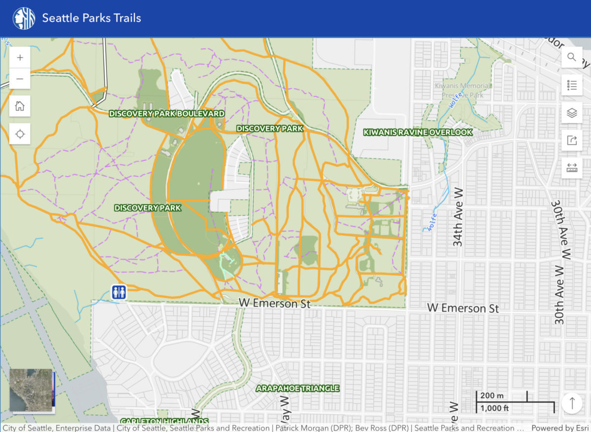
This new mobile GIS application allows park visitors to use their phone to access an advanced Geographic Information Systems technology which provides detailed park maps, amenities, and activity information, along with GPS-accurate trail locations and routes across more than 485 parks and greenspaces in Seattle.
“This isn’t just about maps,” a SPR Instagram announcement said. “It’s about enhancing everyone’s experience of Seattle’s 485+ parks. Whether you’re planning a hike at Discovery Park, a peaceful stroll through Carkeek Park, or a family picnic at Gas Works Park, you’ll have all the info you need to make the most of your visit.”
Comprehensive trail information at your fingertips
The interactive Trails Interactive Public Map provides detailed information for each trail, including:
- Trail classifications (arterial, secondary, social, or paved)
- Trail width, length, and surface material specifications
- Canopy coverage details
- Incline descriptions and grade percentages
- Amenities and activity information
At the same time, the parks department has installed signs at various park kiosks and trailheads across the city. Just scan the QR code to access the map instantly.